Drones Create Exciting Opportunities for Researching the Environment
Deopaul Somwaru is an Environmental Officer at EM. Deopaul is also a talented photographer and drone pilot and combines his passion for nature and visual storytelling to contribute to environmental protection and management.
How do you feel when you fly a drone?
Each time I fly a drone, I have a sense of excitement with a little bit of fear. I am constantly amazed at how different things look from above. Experiencing the birds-eye view is remarkable and allows me to view locations differently and uniquely.
How do drones help you as a biologist?
Drones are very important tools for monitoring due to improvements in photographic visualization. They can easily observe a large geographic area with an aerial birds-eye-view perspective, which allows observation of issues that wouldn’t be visible from the ground. So far, drones have helped me map forests, understand various study areas, and conduct research. For example, I’m using drones to retrieve data from camera traps for my final year project at the University of Guyana. I have also captured beautiful aerial pictures showing Guyana in a different light.
How does piloting a drone help with environmental work at EMC?
Drones do more than take pictures and video; they have a wide range of applications in the environmental field and have opened new opportunities in research. At EMC, we use drones to monitor and map large geographic areas efficiently, track animals and plants, and conduct environmental research. This information is used in data analysis and in Environmental and Social Impact Assessments, Environmental Social and Management Plans, Compliance Reports, and various other monitoring, assessment, and research reports, and also to support conservation efforts.
Do you have any tips for anyone interested in flying a drone?
I suggest you fly as much as possible, try to get very comfortable and learn to trust your machine, but always ensure to obey the rules and regulations outlined by the Guyana Civil Aviation Authority (GCAA).
My Top Five Drone Images – Photography by Depoaul Somwaru
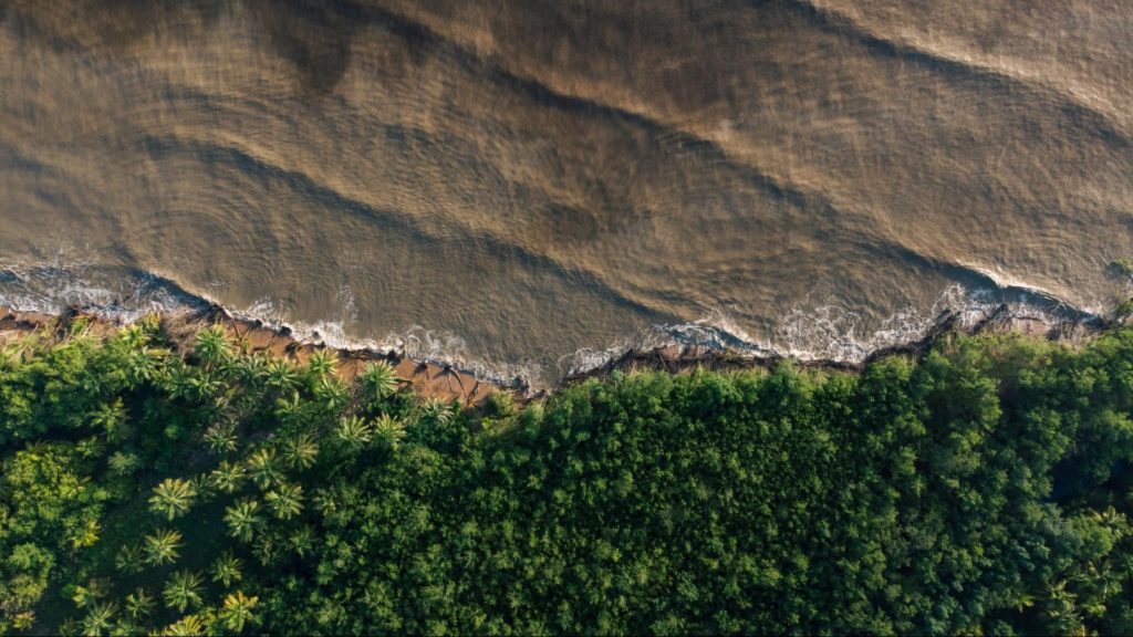
‘This picture of the Shell Beach Protected Area in Region 1 is a favourite because it shows the contrast between the water and the trees and how they work together to create an ideal nesting environment for four endangered sea turtles: Leatherback, Green, Hawks Bill and Olive Ridley.’
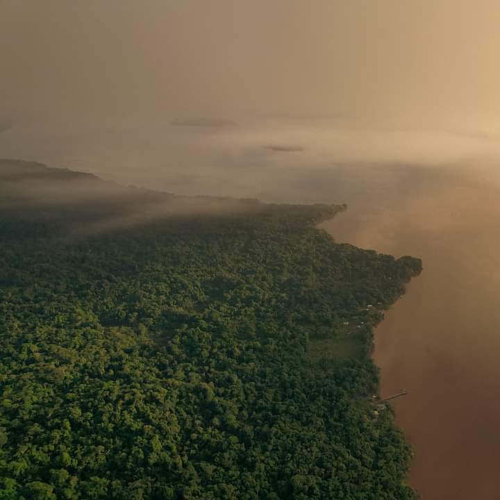
‘I like this aerial view of Saxacalli in Region 3 because it shows Guyana’s natural diversity – we have lush forests, abundant water, great weather, and incredible sunsets.’

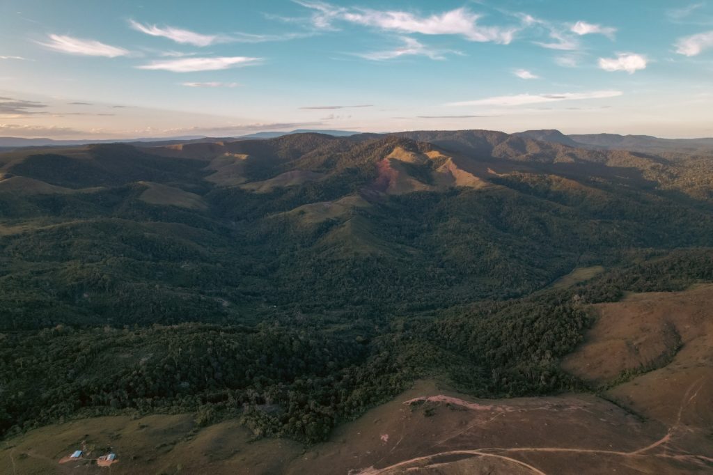
‘I like this view of the hills in Kato in Region 8 because it visualizes my dream of living within nature with a beautiful view of the savannah.’
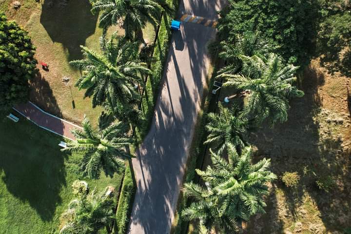
‘This shot of the Botanical Gardens in Georgetown shows that we can blend infrastructure with nature instead of destroying nature to develop. I also like the man-made and the natural complement each other in this image.’
Environmental Management Consultants Inc. (EMC), as an environmental service provider and promoter of green growth, works to support efforts to protect and sustain Guyana’s environment.
